
 Powered by Tasmania Fire Service’s Bushfire Ready Neighbourhoods Program
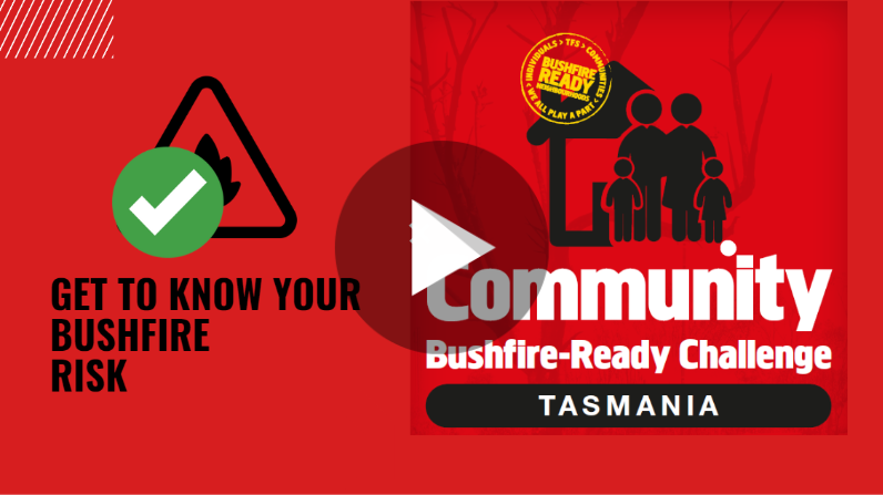
Bushfire-Ready Challenge 1:
GET TO KNOW YOUR BUSHFIRE RISK

Watch the below video about this week’s challenge,
and then work through the following information and activities, to help you discover your bushfire risk!
What are the SIGNS of bushfire?
It is critically important to understand the signs of possible bushfire to ensure you are ahead of the game! The biggest sign of fire that you can assess is the weather around you. Conditions you will need to be aware of are:
- wind strength and direction,
- temperature,
- relative humidity levels, and
- consideration for what time of year it is.
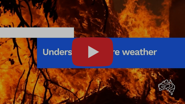
Check out the video below ‘Understanding Bushfire Weather’ from our friends at the Bureau of Meteorology.
What are the RISKS of bushfire?
Once a fire has started, there are many possible risks that can affect your health, your safety and your property. It is important to take time with your family to reflect on the following considerations.
Do you live in a bushfire prone area?
ACTIVITY: Use the button below to run an assessment of your property location through the TASALERT RiskReady Tool.
*WARNING: Some properties can’t appear on this tool. You may try entering neighbouring addresses to give you a similar assessment.
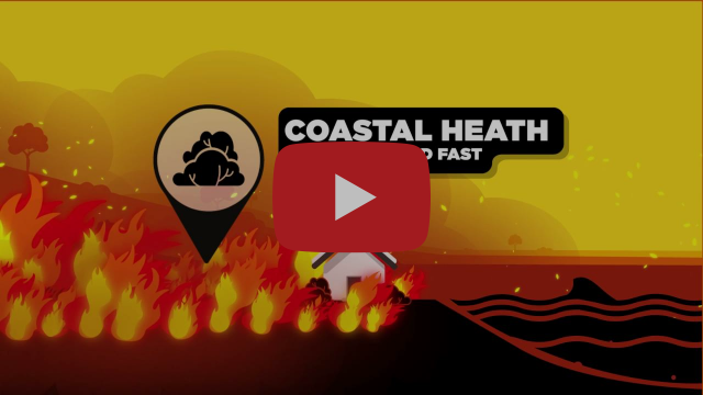
What is the likely fire behaviour in your area?
Fire can act differently, depending on where you live. Click and view the video on the right, to find out more about fire behaviour in different areas.
*Please DO NOT refer to SA CFS websites provided in video. For bushfire planning in Tasmania, please visit https://bushfire.tas.gov.au/
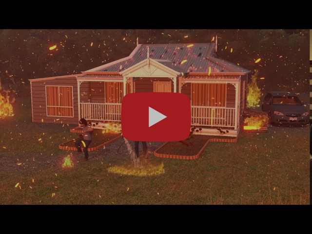
What is ember attack, and are you prepared for it?
A fire may be kilometers away, but it can still affect you. Click and view the video on the right to learn more about ember attack.
*Please disregard websites provided in video. For bushfire planning in Tasmania, please visit https://bushfire.tas.gov.au/
Understanding the
AUSTRALIAN FIRE DANGER RATING SYSTEM (AFDRS)
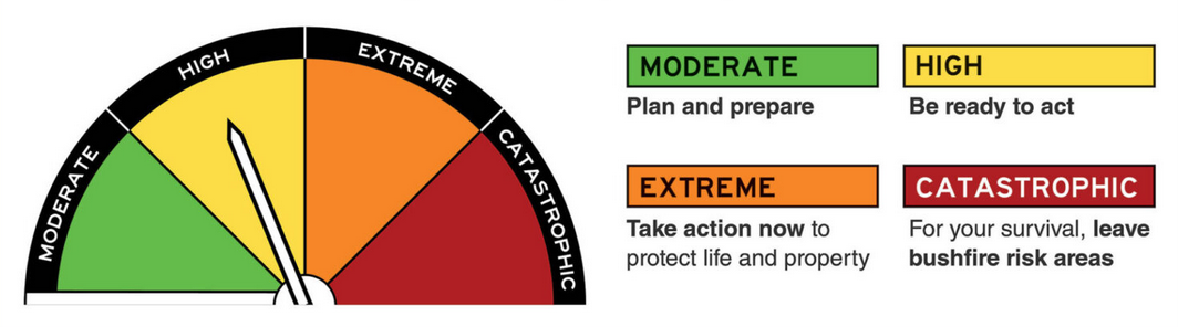
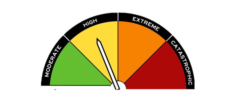
The Australian Fire Danger Rating System (AFDRS) was updated in September 2022 and is now a simpler, and more accurate survival tool!
The rating system is a nationally consistent resource designed to indicate how dangerous a fire could be if one started in your area.
Each rating, whether it be Moderate, High, Extreme or Catastrophic, is linked to a ‘call to action’, helping you prepare, act and survive.
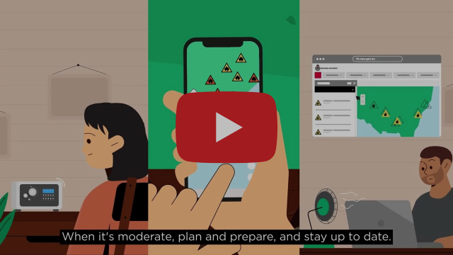
*Please disregard websites provided in this video and refer to www.fire.tas.gov.au
for Tasmanian specific information
Australian Fire Danger Rating System (AFDRS)
How will the AFDRS help you plan for bushfire? Use the button below to learn about the Australian Fire Danger Rating System (AFDRS).
Take the time to consider how the ratings and calls to action will help you plan for bushfire.
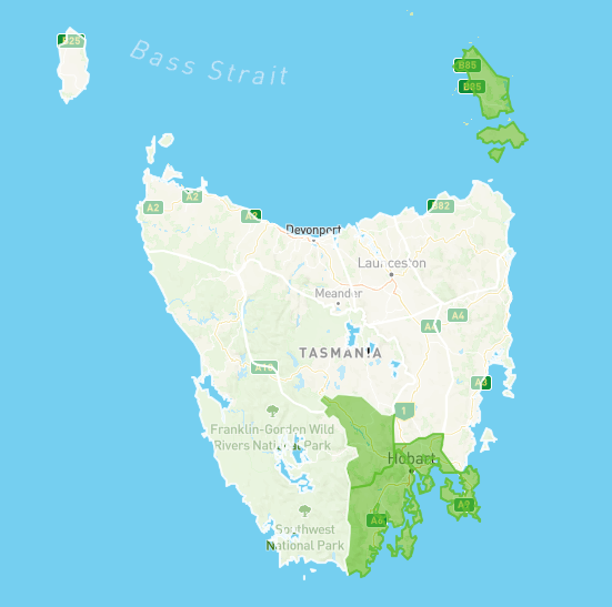
Local fire danger rating
Check your local fire danger rating!
ACTIVITY: Use the button below to check your local fire danger rating.
Don’t forget, we’ve also included an AFDRS magnet in your Welcome Pack!
Chuck this on your fridge, and every time you grab the milk in the morning, give it a scan to keep updated through summer.
For further information on the Australian Fire Danger Rating System
What are ALERTS & WARNINGS?
Australian Warning System (AWS)
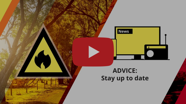
Once a bushfire incident is happening, it is critical to your safety to stay up to date with Alerts & Warnings.
Australia has a standardised Australian Warning System (AWS) in place to keep messages and calls to action simple during an incident.
To find out more about Alerts & Warnings, click the button below.
TASALERT mapping system
Did you know about TASALERT's mapping system?
TASALERT's new mapping system is a great resource to help you keep up to date with Alerts and Warnings in your area.
Alerts and Warnings are consistent across all hazard types in Australia.
That means it's now easier than ever to understand alert levels of any incident, helping you act accordingly.
The system will also allow you to view warnings, incidents, road closures and more.
ACTIVITY: Click the button below to view and familiarise yourself with TASALERT's mapping system

ABC Radio Broadcast Frequencies
What if the power is out? In the event that communications are cut out, it is critically important that you stay tuned to ABC radio via a battery-operated radio.
Click the button below to find out your local station.

Got a question?
Contact us via email at community@fire.tas.gov.au for any questions about the Community Bushfire-Ready Challenge.